00 Gabriel Dr, Greenville
Best fit: 27 single-family lots.
At these inputs the land can carry about $483,300 as single-family lots. The asking price of $675,000 is $191,700 above that. As finished lots, the price works if lots sell for $77,978 or more, against $70,000 assumed.
- single-family lots
- 27
- the land can carry
- $483K
- margin before land
- 36.6%
- over what the land can carry
- $192K
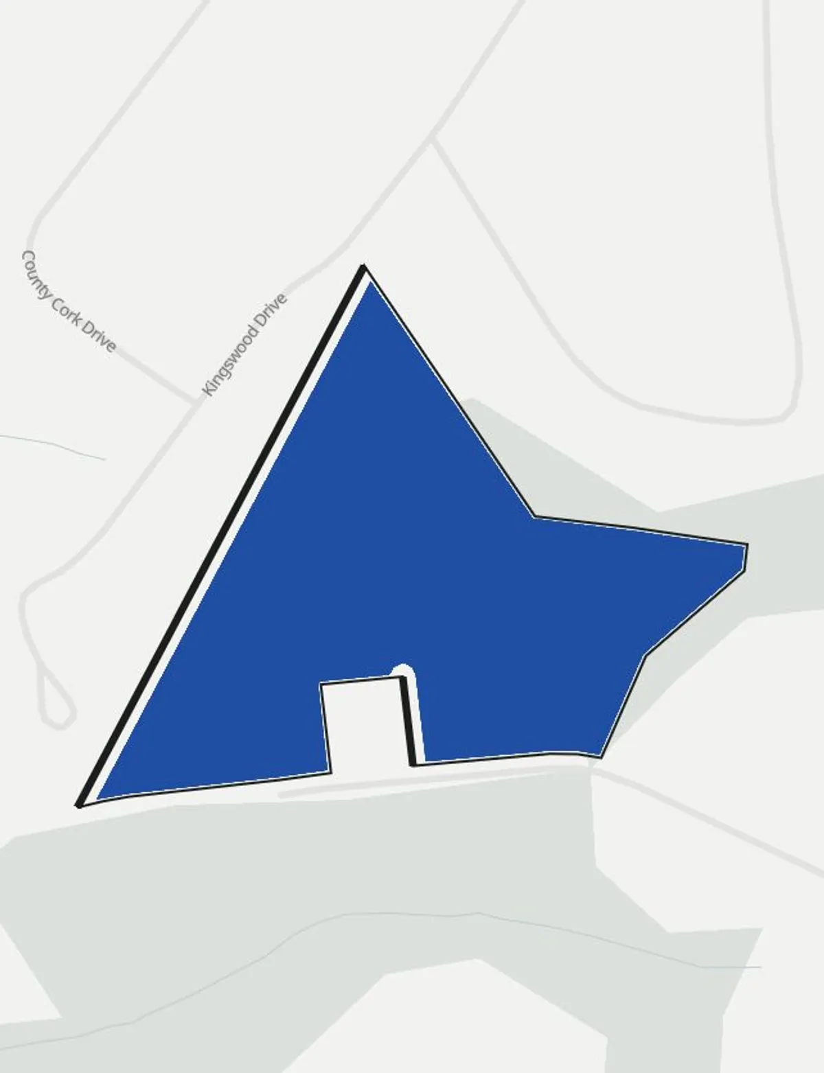
Where the land goes
| Land | Acres | Share |
|---|---|---|
| Buildable after setbacks | 7.58 ac | 91% |
| Setback strips | 0.73 ac | 9% |
No mapped flood hazard area or wetland touches the parcel.
Three uses compared
| Use | Single-family lots | Single-family homes | Apartments |
|---|---|---|---|
| Zoning | By right | By right | Needs rezoning |
| Yield | 27 lots | 27 homes | 32 apartments |
| Revenue or value | $1,890,000 | $9,720,000 | $5,780,822 |
| Cost before land | $1,198,800 | $8,278,200 | $7,483,059 |
| Return before land | 36.6% | 14.8% | 4.5% |
| Land can carry | $483,300 | $372,600 | -$2,456,257 |
Land can carry means the residual land value: revenue or stabilized value, less every cost before land, less the developer return. Single-family lots: limited by the minimum lot size. Single-family homes: limited by the minimum lot size. Apartments: limited by the density limit.
Pro forma, single-family lots
| Lot sales, 27 lots at $70,000 | $1,890,000 |
| Lot development at $40,000 per lot | $1,080,000 |
| Soft cost at 11% | $118,800 |
| Cost before land | $1,198,800 |
| Developer margin at 11% of revenue | $207,900 |
| Land can carry | $483,300 |
| Profit at the land price entered, 0.9% of revenue | $16,200 |
Parcel
- Owner of record
- BROOKS ETHEL L (2019 record)
- Parcel line source
- Greenville County parcels, 2019 extract (full county; check for later splits)
- Jurisdiction
- Unincorporated Greenville County
- Zoning district
- R-10 Single-Family Residential District
- Zoning map source
- Greenville County zoning districts, an ArcGIS Online copy hosted by a third party (last edited October 2025)
- Flood map source
- FEMA National Flood Hazard Layer, flood hazard zones
- Front edge
- Longest edge, assumed
Zoning limits used
| Limit | Value | Source |
|---|---|---|
| Front setback | 20 ft | County Zoning Ordinance, Table 7.3 |
| Side setback | 5 ft | County Zoning Ordinance, Table 7.3 |
| Rear setback | 5 ft | County Zoning Ordinance, Table 7.3 |
| Density limit | 3.90 per acre | County Zoning Ordinance, Table 7.1 |
| Minimum lot size | 10,000 sf | County Zoning Ordinance, Table 7.1 |
| Height limit | 45 ft | County Zoning Ordinance, Table 7.3 |
People nearby
| Ring | People | Households | Renting | Income | Rent |
|---|---|---|---|---|---|
| 1 mi | 6,192 | 2,305 | 32.9% | $55,582 | $966 |
| 3 mi | 30,126 | 12,037 | 32.9% | $52,919 | $1,099 |
| 5 mi | 87,485 | 36,410 | 43.3% | $60,973 | $1,179 |
U.S. Census Bureau, ACS 2024 5-year estimates by block group. A block group counts when its center falls inside the ring. Income and rent are averages of block group medians, weighted by households and renter households.
Before an offer
- Confirm the district, its limits, and any overlay with the planning office.
- Confirm sewer and water capacity with the utility.
- Order a boundary survey and a wetland delineation.
- Check the FEMA flood map panel and any pending map revision.
- Replace the cost and price assumptions with local bids and comparable sales.
A preliminary screen built from public data and stated assumptions at feasibilityconsulting.com. It is not an appraisal, survey, engineering study, legal opinion, or zoning determination. Parcel lines come from the tax map. A boundary survey sets the exact lines.